
Wind, rain, maybe snowflakes: It's about to get chilly around NYC
A sharp temperature drop and potential coastal flooding are expected to hit New York City this weekend as a low-pressure system brings rain and gusty winds to the area.
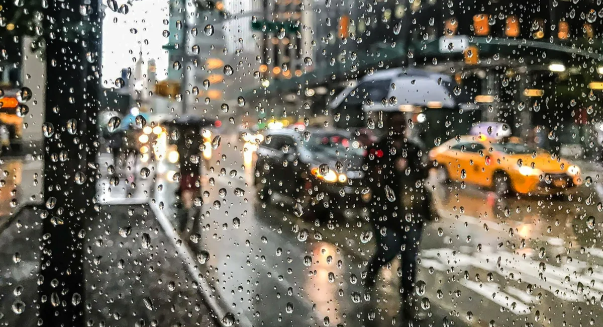
The National Weather Service is forecasting a significant weather shift for New York City starting Friday, November 13, 2026. A low-pressure system will move through the region, bringing light to moderate rain through Saturday morning and a sharp temperature drop. Highs that reached the 60s earlier in the week will plummet to the 40s from Friday through Sunday.
While Brooklyn Heights and lower-lying areas can expect rain, meteorologists note that wet snowflakes may appear in higher-elevation interior regions on Friday night. Additionally, minor coastal flooding is possible along the Western Sound and Long Island during high tide cycles from Thursday through Saturday. Conditions are expected to stabilize by Monday with temperatures returning to the 50s.
Summary by Dispatch AI — read the full story at Gothamist.
Know a neighbor who’d like this?
Forwarding to neighbors is the best way to keep local coverage alive.
Enjoyed this read?
Get Brooklyn Heights news, openings, and events delivered weekly. No spam.
Comments
Loading comments…