
Meet Your Neighbors: Every Street Tree in Brooklyn Heights, Mapped
Our new Tree Map plots all 3,899 street trees in the neighborhood — tap any one to learn what it is.
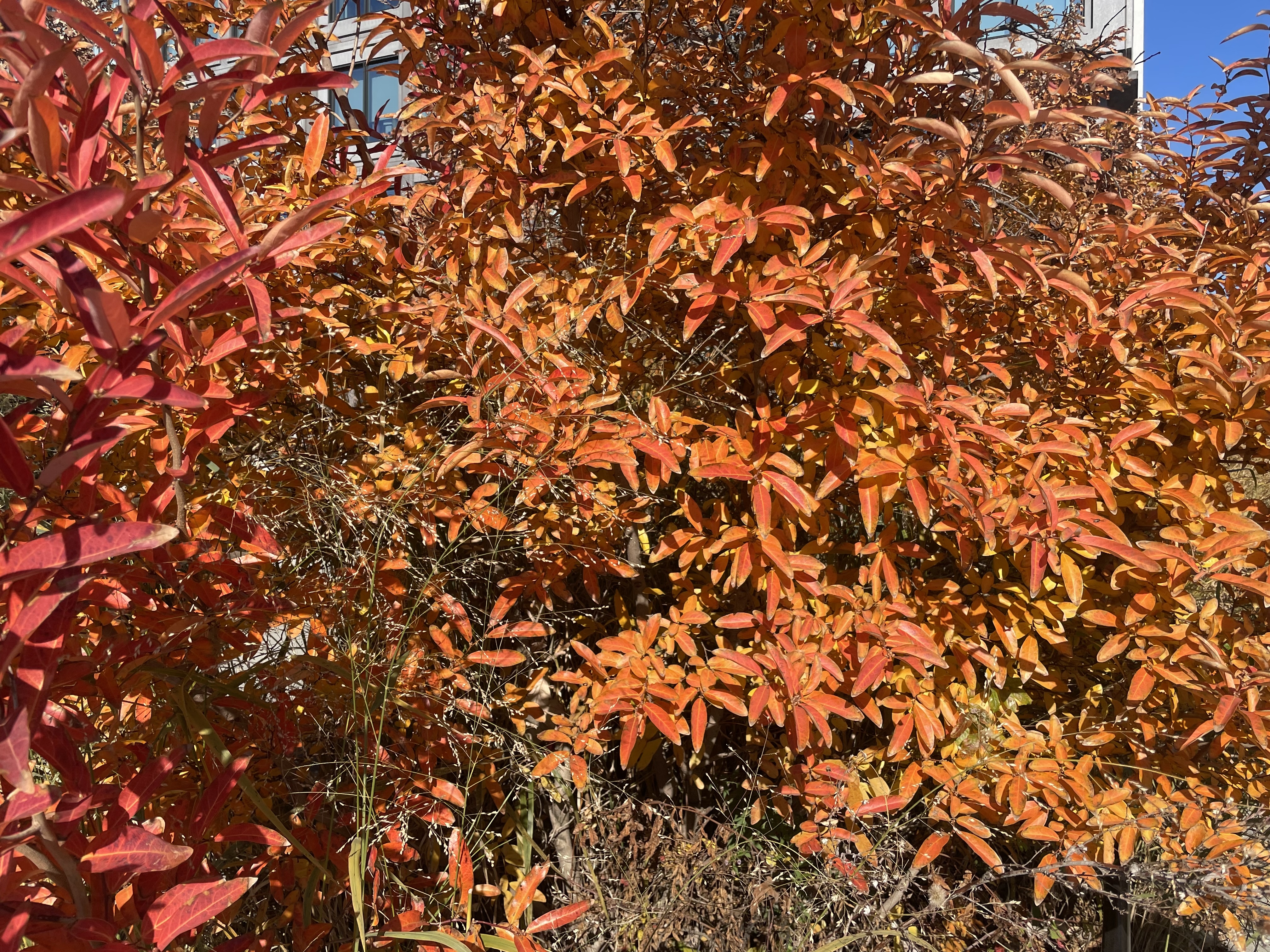
Brooklyn Heights has a lot of famous residents, but some of the oldest have been standing quietly on the sidewalk.
Today we're launching the Brooklyn Heights Tree Map, which plots every street tree in the neighborhood — all 3,899 of them — on a single map.
How it works
Each dot is a tree. Bigger dots mean thicker trunks, so you can spot the neighborhood elders at a glance. Tap any dot to see its species, trunk size and condition.
Want to find every ginkgo on your block? Use the species menu to filter the map down to just one kind of tree. The five most common species each get their own color.
A few things we noticed
The London planetree rules the Heights. It's the most common street tree here by a wide margin, especially along Cadman Plaza.
Honeylocusts, ginkgos (maidenhair trees), pin oaks and callery pears round out the top five.
Some trunks are seriously big. The map shows the biggest trunk in the neighborhood, so go pay it a visit.
Where the data comes from
The map uses NYC Parks' Forestry Tree Points, the same live data behind the city's own tree map, published free on NYC Open Data. When Parks plants or removes a tree, the map updates too.
You can find the Tree Map anytime under Directory → Trees in the menu. Go find your tree, and if you spot a favorite, tell us about it at howdy@rickyferrer.com.
Know a neighbor who’d like this?
Forwarding to neighbors is the best way to keep local coverage alive.
Enjoyed this read?
Get Brooklyn Heights news, openings, and events delivered weekly. No spam.
Comments
Loading comments…