
Trick or Streets!
New York City has launched its Trick-or-Streets initiative, providing residents with an interactive map of car-free zones and seasonal events across the five boroughs for the Halloween season.
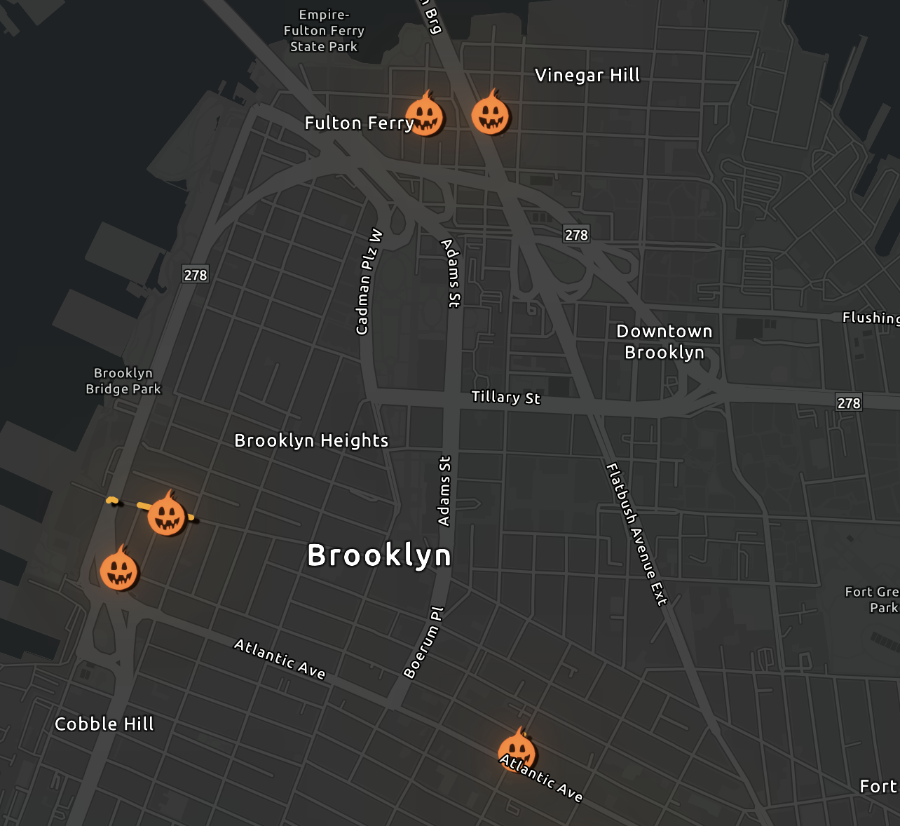
The New York City Department of Transportation has released a comprehensive interactive map detailing the 2024 "Trick-or-Streets" locations. The program designates specific corridors as car-free zones to facilitate safer pedestrian movement and community celebrations during the Halloween period.
The digital tool, powered by Esri and NYC OpenData, allows residents to filter events by date and location. It identifies various programming categories, including signature city-sponsored events and partner-led neighborhood activities. The initiative aims to provide accessible space for families and trick-or-treaters across all five boroughs.
Summary by Dispatch AI — read the full story at Nyc.
Know a neighbor who’d like this?
Forwarding to neighbors is the best way to keep local coverage alive.
Enjoyed this read?
Get Brooklyn Heights news, openings, and events delivered weekly. No spam.
Comments
Loading comments…